
Scotland’s Geoparks
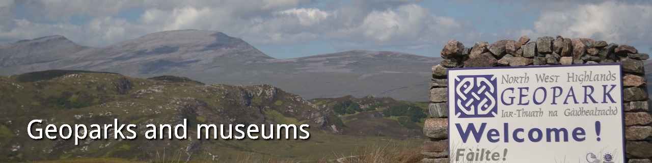
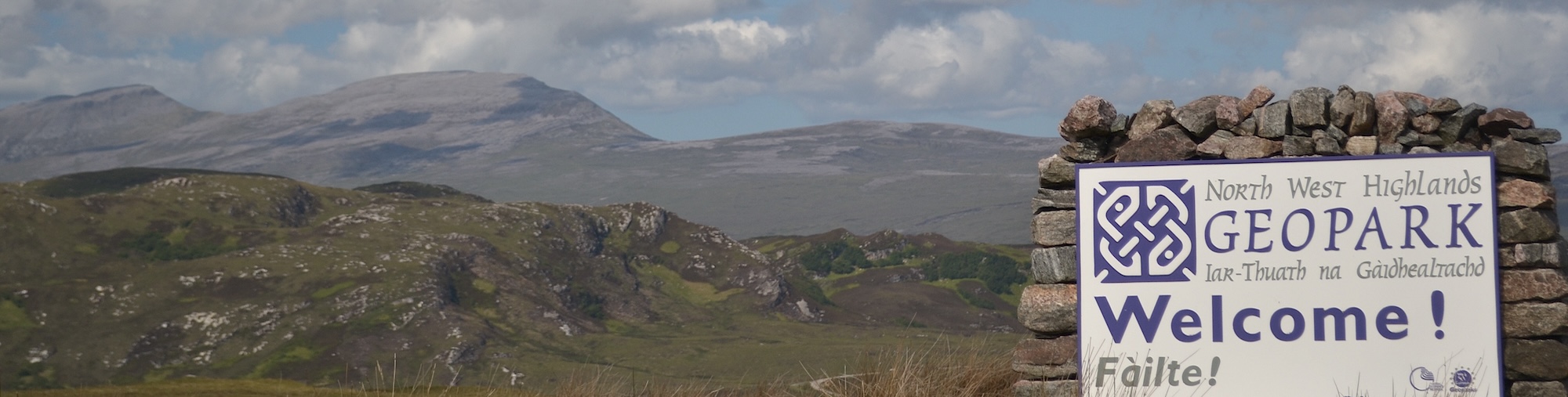
The NW Highlands UNESCO Geopark was awarded UNESCO status in 2004 – covering the far NW of Scotland. A land of mountains and lochs, the Geopark has World-famous localities that have been at the forefront of Earth Science for over 150 years. They include the early crustal roots of the Lewisian – dating back over three billion years, the “Torridonian” – successions of Mesoproterozoic sedimentary rocks that contain evidence for some of the oldest non-marine life on Earth and deposits from a meteoroid impact. The Geopark is probably best-known for the Moine Thrust Belt, one of the IUGS First One Hundred Geosites.
Geopark Shetland, another member of the UNESCO global network, packs a huge variety of geology across more than one hundred islands with over one hundred geo-sites. Much of the archipelago is formed by rocks from deep within the old Caledonian mountain belt. These include the classic ophiolite sections of the islands of Unst and Fetlar. Shetland is carved by the Great Glen Fault, bringing thick sequences of Devonian orogenic detritus – the Old Red Sandstone.
Arran is an aspiring UNESCO Global Geopark. With a landscape often characterised as “Scotland in miniature” – its heart is formed of Tertiary granite, carved by glaciers into stunning corries. Around the coast are classic outcrops, including an unconformity site described by Hutton. The north of the island includes rocks from the Grampian – part of the Caledonian orogen. The south is equivalent to Scotland’s Midland Valley – the two separated by an extension of the Highland Boundary Fault. And it is this geology that is intruded by Tertiary dykes, sills and the granites.
The Lochaber Geopark hosts Scotland’s highest peak but a whole lot more. From the Hebridean island of Rum, with its famous outcrops of Tertiary magma chambers, the geopark stretches east to the centre of Scotland’s most recent ice cap – now Rannoch Moor. Much of the bedrock is formed of metamorphic rocks unearthed from within the Caledonian mountain belt – along with the dissected caldera – ring dyke complex of Glen Coe.
Geoparks across the rest of the UK and Ireland
Black Country, England – situated in the English Midlands, the Black Country is one of the cradles of the Industrial Revolution. Being entirely urban, the geopark plays a unique role in connecting people to their linked industrial and geological heritage.
English Riviera – situated in the county of Devon, the geopark included popular coastal resorts and their hinterland of rolling hills. It was here that Murchison and Sedgwick established the Devonian Period.
North Pennines – located cross the counties of Durham, Northumberland and Cumbria, the geopark is famous not only for the Whin Sill – a Carboniferous intrusion of regional extent, but also the lead mineralisation and its exploitation.
Fforest Fawr – in south Wales includes part of the Brecon Beacons National Park and is historically important for sites that inspired the Landovery Series and Silurian System. The geopark includes stunning Devonian and Carboniferous successions, carved by Quaternary glaciations.
GeoMôn– named from Ynys Môn (Anglesey) – contains diverse components assembled during the Caledonian orogeny. These include the outcrops of subduction zone melange (Mona Complex) at Ynys Llanddwyn, one of the IUGS First One Hundred Geosites.
Cuilcagh Lakelands, situated in both Northern Ireland and the Republic of Ireland, this area was the first in the UK to be recognised as a Geopark and was the world’s first transnational Geopark. It is dominated by Carboniferous rocks – which host Marble Arch caves – along with Pleistocene spectacular glacial deposits.
Copper Coast – situated on the SE coast of Ireland, the geological heritage in this small geopark centres on its mining history and the service of geology for society. Telling the story of lead, silver and gold mining, the geopark was Ireland’s first.
Burren and Cliffs of Moher form Ireland’s most recent UNESCO Geopark – well-known for its stunning karstic plateau and caves, along and huge sea-cliffs facing the Atlantic. The Geopark includes the Poulnabrone Dolmen, Ireland’s oldest megalithic monument.
Joyce Country and Western Lakes is an aspiring UNESCO Geopark straddling the counties of Connemara and Mayo in the west of Ireland. It is famous for its deformed metamorphic successions that chart processes that operated deep in the Caledonian orogen.
Mourne, Gullion, Strangford are an aspiring UNESCO Geopark centred on the Tertiary igneous complexes intruded into Silurian strata from the closure of the Iapetus ocean, with landscapes shaped by Pleistocene glaciations.
Without UNESCO status, the Abberley and Malvern Hills Geopark contains a geological record from the late Cambrian to early Jurassic, giving a glimpse into the geological underpinnings of much of southern England.
Finally Jersey, one of the Channel Islands, is an aspiring Geopark with a spectacular array of megalithic Neolithic sites.
Scotland’s World Heritage Sites
Scotland has six World Heritage sites, all of which have geological roots.
The most remote is St Kilda, now uninhabited islands over 150 km west of mainland Scotland and sculpted from the roots of a Tertiary volcano. The Forth Bridge, for 27 years the World’s longest cantilever bridge, relies on foundations of Carboniferous dolerites on the shores of the Firth of Forth. New Lanark is a cornerstone of Scotland’s industrial past, built in 1799 and once one of the World’s largest factory sites, the mill complex relied on water from the narrow gorge carved by the River Clyde. The Old and New Towns of Edinburgh owe their distinct cityscape to the Carboniferous sills that have been carved by Pleistocene icesheets. The Antonine Wall – once the northernmost frontier of the Roman Empire, linked the rivers Clyde and Forth, made from piled turf and ditches. Heart of Neolithic Orkney, is Europe’s best-preserved Neolithic landscape, the domestic and ritual monuments rely on the abundant availability of flaggy building stone from the Old Red Sandstone.
Geological World Heritage Sites in the rest of the UK and Ireland
- Blaenavon Industrial Landscape (2000)
- City of Bath (1987)
- Cornwall and West Devon Mining Landscape (2006)
- Derwent Valley Mills (2001)
- Ironbridge Gorge (1986)
- Pontcysyllte Aqueduct and Canal (2009)
- Stonehenge, Avebury and Associated Sites (1986)
- The English Lake District (2017)
- Frontiers of the Roman Empire – Hadrian’s Wall (1987)
- The Slate Landscape of Northwest Wales (2021)
- Dorset and East Devon Coast (2001)
- Giant’s Causeway and Causeway Coast (1986)